
RSRP Street Resources
All street projects scheduled as a part of the Residential Street Rebuild Program (RSRP) are listed below with maps, technical drawings, and project status.
PROJECT OVERVIEW
The residential street repair program began in 2016 to address aging street infrastructure across the City. This page is updated regularly with upcoming streets that are part of the RSRP program. To see all RSRP projects on a map, view the RSRP Project Map and to learn more about what will happen when construction comes to your street view this informational video. For questions, you may contact RSRP Construction Inspectors Brian Skinner (361-660-5052) and Alex Mortera (361-460-8790).
PUBLIC INPUT
View a short presentation and provide input through our form. You can comment on any street listed below, or the project in general.
INSTRUCTIONS
Individual street projects are listed in a table format, below the search box and buttons. As you begin typing in the search box the results will change in the table below to only list those that match the keywords that you have typed. You may also sort results by Street Name, District, or Build Type buttons below the Search Box.
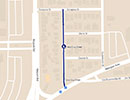
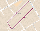
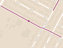
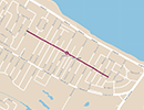
| MAP |
STREET NAME / BOUNDARIES |
DISTRICT | DRAWING |
BUILD TYPE | STATUS |
|---|---|---|---|---|---|
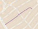
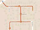
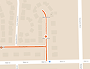
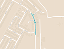
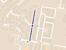 View Map » | Catfish Drive TEAGUE LANE TO DEAD END |
District 1 |
 Technical Drawing »
 |
Rehabilitation | In Design |
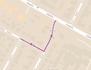
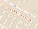
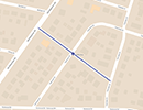 View Map » | Fairfax Drive OLD ROBSTOWN ROAD TO FAIRVIEW DRIVE |
District 1 |
Technical Drawing » |
Rehabilitation |
Under Construction |
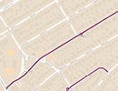
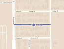 View Map » | Iturbide Street GUATEMOZIN STREET TO AIRPORT ROAD |
District 1 |
Technical Drawing » |
Rehabilitation | In Design |
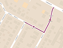
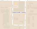 View Map » | Mestina Drive BATTLIN BUC BLVD. TO PALM DR. |
District 1 |
Technical Drawing » |
Rehabilitation |
Under Construction |
 View Map » | Vera Cruz Street ZARAGOSA STREET TO MORGAN AVENUE |
District 1 |
Technical Drawing » |
Rehabilitation |
Under Construction |
 View Map » | Angelo Drive SANTA FE ST. TO BEVERLY DR. |
District 2 |
Technical Drawing » |
Reconstruction |
Under Construction |
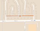
 View Map » | Belton Street GREENWOOD DR. TO REYNOSA ST. |
District 2 |
Technical Drawing » |
Reconstruction |
Under Construction |
|
View Map » | Beverly Drive ANGELO DR. TO SANTA FE ST. |
District 2 |
Technical Drawing » |
Reconstruction |
Under Construction |
 View Map » | Kentner Street CAPE COD DR. TO CANTERBURY DR. |
District 2 |
Technical Drawing » |
Rehabilitation |
Under Construction |
 View Map » | Ponder Street SOUTH STAPLES STREET TO HARRISON STREET |
District 2 |
Technical Drawing » |
Reconstruction |
Under Construction |
 View Map » | Sharon Drive WESLEY DRIVE TO SOUTH ALAMEDA STREET |
District 2 |
Technical Drawing » |
Reconstruction | In Design |
 View Map » | Texas Avenue ALAMEDA STREET TO STAPLES STREET |
District 2 |
Technical Drawing » |
Reconstruction |
Council Approved |
 View Map » | Wesley Drive LANSDOWN DRIVE TO SHARON DRIVE |
District 2 |
Technical Drawing » |
Reconstruction | In Design |
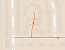
 View Map » | Bascule Drive RIVERTON DRIVE TO GOLDEN GATE CIRCLE |
District 3 |
Technical Drawing » |
Reconstruction | In Design |
 View Map » | Crestmeadow Drive CRESTWOOD DRIVE TO CRESTFORREST DRIVE |
District 3 |
Technical Drawing » |
Reconstruction |
Council Approved |
 View Map » | Green Park Drive GREEN POINT DRIVE TO GREEN GATE DRIVE |
District 3 |
Technical Drawing » |
Reconstruction | In Design |
 View Map » | Green Pass Drive GREEN PARK TO DEAD END |
District 3 |
Technical Drawing » |
Reconstruction | In Design |
 View Map » | Green Point Drive BEAR LANE TO DEAD END |
District 3 |
Technical Drawing » |
Reconstruction | In Design |
 View Map » | Bison Drive SOUTH OF NORTHWIND DR. TO NORTH OF CROSSWINDS DR. |
District 5 |
Technical Drawing » |
Rehabilitation | In Design |